Wild Atlantic Way Map | DesignWithBeth
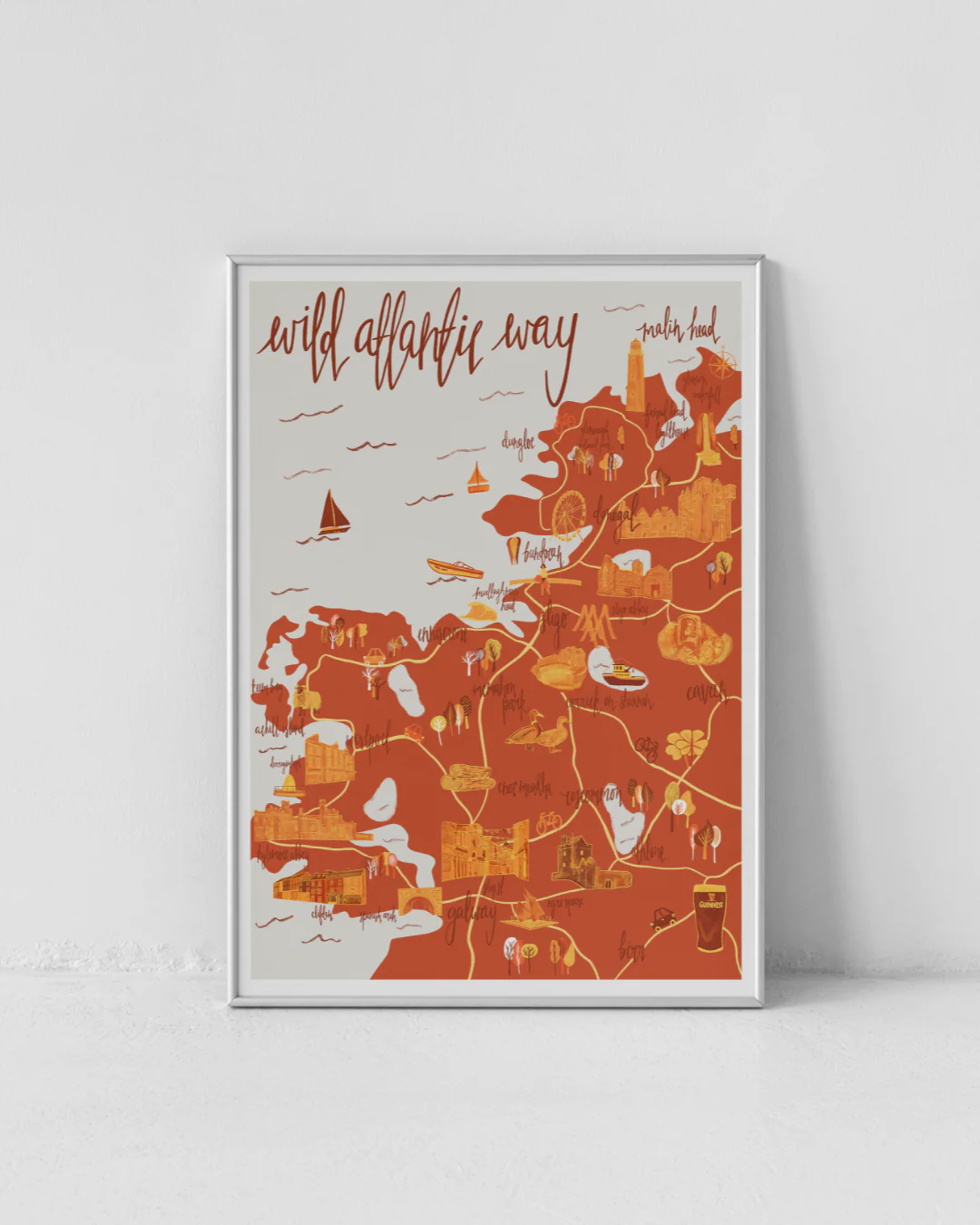
A beautifully illustrated map of the Wild Atlantic Way from County Donegal right down to Galway Town!
DesignWithBeth is the work of Beth Snelling, a Northern Irish illustrator and graphic designer with a passion for mapping places. Each map is carefully researched and hand drawn, combining handwritten typography and bold colours to capture the unique character of every location.
A4
Original: $38.80
-70%$38.80
$11.64Product Information
Product Information
Shipping & Returns
Shipping & Returns
Description
A beautifully illustrated map of the Wild Atlantic Way from County Donegal right down to Galway Town!
DesignWithBeth is the work of Beth Snelling, a Northern Irish illustrator and graphic designer with a passion for mapping places. Each map is carefully researched and hand drawn, combining handwritten typography and bold colours to capture the unique character of every location.
A4